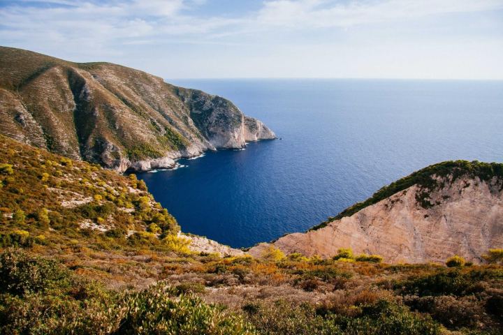
On the night Storm Corin came ashore, Marta Ruiz did what her father and grandfather had done before her. She tied the boat off twice, carried the nets up to the loft above the smokehouse and went to stand at the end of Tide Street, where the marsh begins, to watch the water come in.
For most of her life the marsh did the work. The grasses slowed the waves, the creeks took the surge and spread it thin, and by the time the sea reached Lowmarsh it had nothing left. “You could hear it out there, roaring,” she said. “And then you couldn’t. The marsh just drank it.”
That is no longer true. Since 1974, roughly half of the Lowmarsh wetland has turned to open water, according to the city’s own surveys. What is left is lower, wetter and closer to the houses than at any time on record.
- of marsh in front of Lowmarsh in 1974
- 1,240 acres
- left today, after half a century of erosion
- 610 acres
- of sea-level rise at the harbour gauge since 1974
- 11 in
- families still fishing from the Lowmarsh quay
- 38
The marsh
The Lowmarsh wetland is not a park. It is a working landscape, cut through with creeks that the fleet has navigated for a century, and a nursery for the shellfish and young fish that the boats depend on.
It is also, engineers now say plainly, the city’s cheapest sea defence. A study commissioned by the Port Authority in 2023 estimated that each acre of healthy marsh reduces the height of a storm surge at the shoreline by a measurable amount, and that replacing what Lowmarsh has lost with concrete would cost more than $400 million.
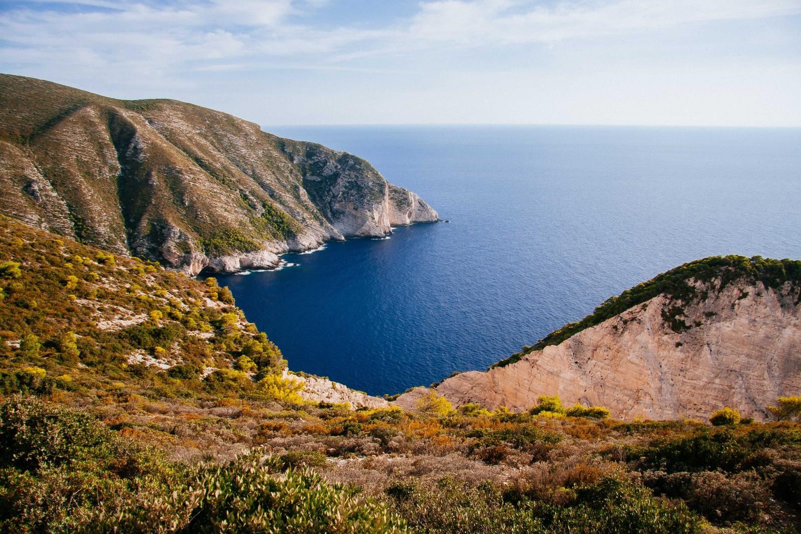
The losses have not been steady. They come in storms. A single bad winter can strip away more marsh than a decade of ordinary tides, and the land does not grow back fast enough to replace it. Each storm leaves the next one a shorter path to the houses.
You could hear it out there, roaring. And then you couldn’t. The marsh just drank it.
Marta Ruiz, fourth-generation fisher
What the water took
The city’s planning department mapped the wetland in 1974 for a drainage scheme that was never built. Laid over this year’s aerial survey, the old map shows how far the open water has advanced. Drag the divider to compare them.
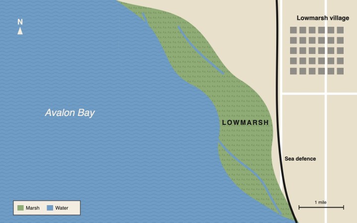
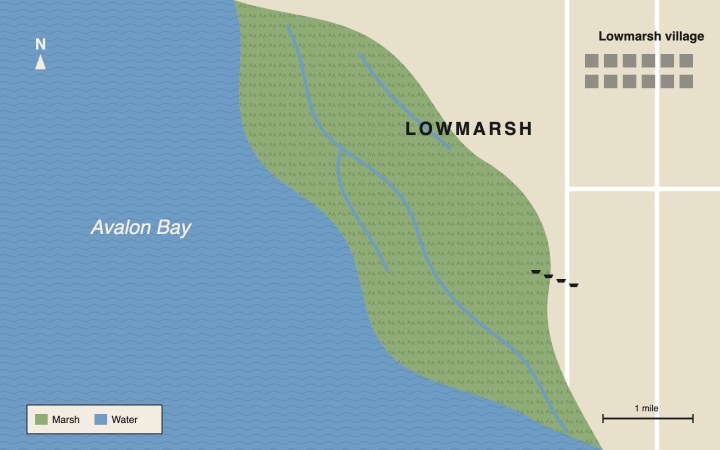
The pattern is the same along the whole seaward edge: the marsh is retreating towards the neighbourhood, and the creeks are widening into channels that carry the surge further inland.
Fifty years at the water's edge
-
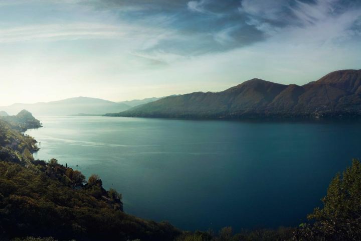
1974
A working marsh
The city surveys 1,240 acres of wetland in front of Lowmarsh for a drainage scheme that is never built.
-
1991
The first breach
A winter storm cuts a new channel through the southern marsh. It never closes again.
-
2008
Storm Delia
Water reaches Tide Street for the first time in living memory. Forty homes are flooded.
-
2019
A levy fails
Voters reject a $90 million flood levy. The marsh loses 60 acres over the following two winters.
-
2024
A wall goes up
The city builds a 9.5-foot seawall along the eastern edge of the neighbourhood as a stopgap.
-
2026
The vote
The council approves a $310 million emergency flood levy, with $60 million set aside to rebuild the marsh.
The night the wall held
Storm Corin, 3am
At the peak of the storm the water stood within inches of the top of the seawall.
Corin’s surge peaked a little after three in the morning, on a high tide. At the Tide Street gauge the water reached 10.3 feet, just above the top of the seawall built two years earlier. Waves broke over it for about two hours. The pumps kept up. The houses stayed dry.
“It held because it was a short storm,” said Dr Hana Moreau, who studies urban flood policy at Avalon State University. “Give it another tide cycle and we are having a very different conversation.”
What comes next
The levy the council approved this month includes $60 million to rebuild part of the marsh: pumping sediment back onto the flats, replanting the grasses and closing two of the channels that open water has carved since 1991.
It is slow work, and it is a bet. The marsh has to grow faster than the sea rises. Restored wetlands elsewhere on the coast have managed it; others have washed away within a decade.
We can pour concrete for a hundred years, or we can help the marsh do what it always did. Ideally both.
Dr Hana Moreau, Avalon State University
Marta Ruiz will be watching from the end of Tide Street. “My grandfather used to say the marsh owed us nothing,” she said. “I think now we owe it.”